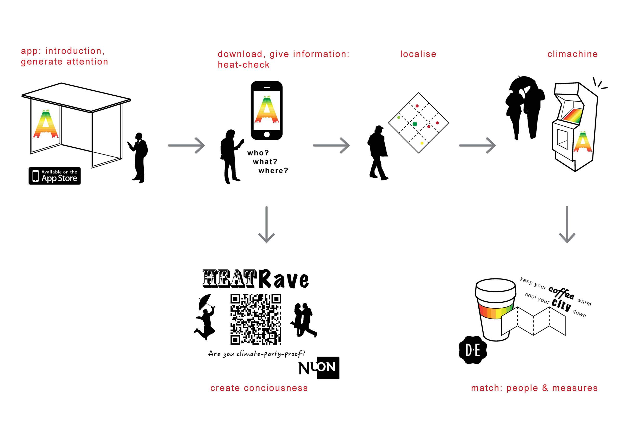
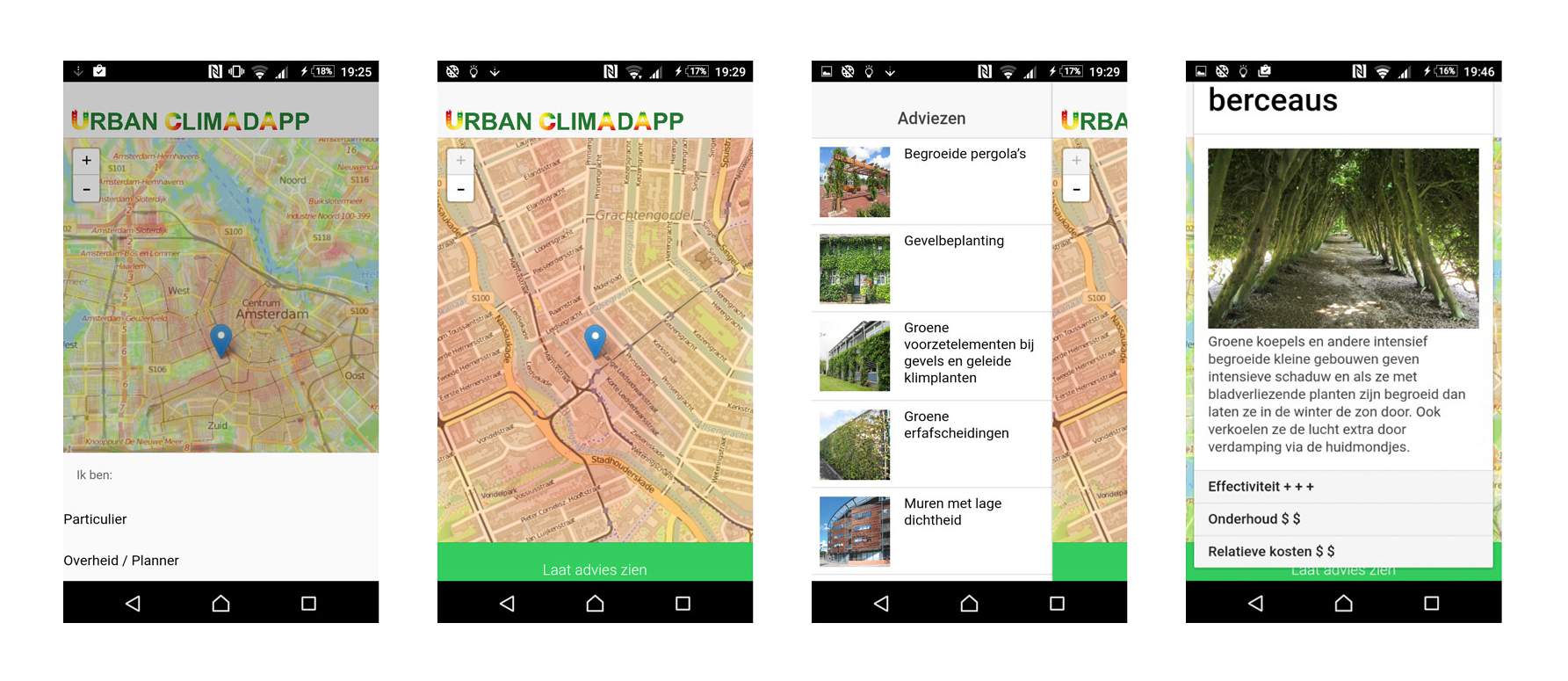
an app to detect and adapt to climate change in the urban context of Amsterdam

The city of Amsterdam faces adverse urban climate effects that need adaptation. Urban climate adaptation helps to avoid and/or minimise the damage done to urban facilities and networks. The damage that is to be expected, is higher than the investments in adaptive measures. In order to create awareness of urban climate change, and introduce small-scale interventions for Amsterdam citizens to take, AMS (Amsterdam Institute for Advanced Metropolitan Studies) stimulates the development of the CLIMADAPTOOL – a data system and smartphone app.
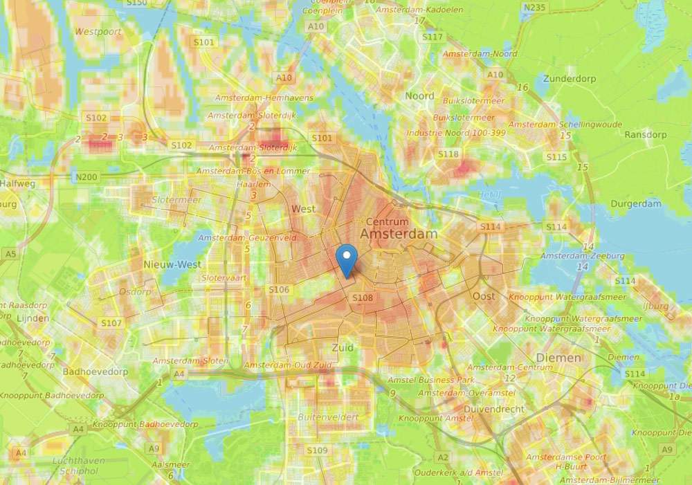
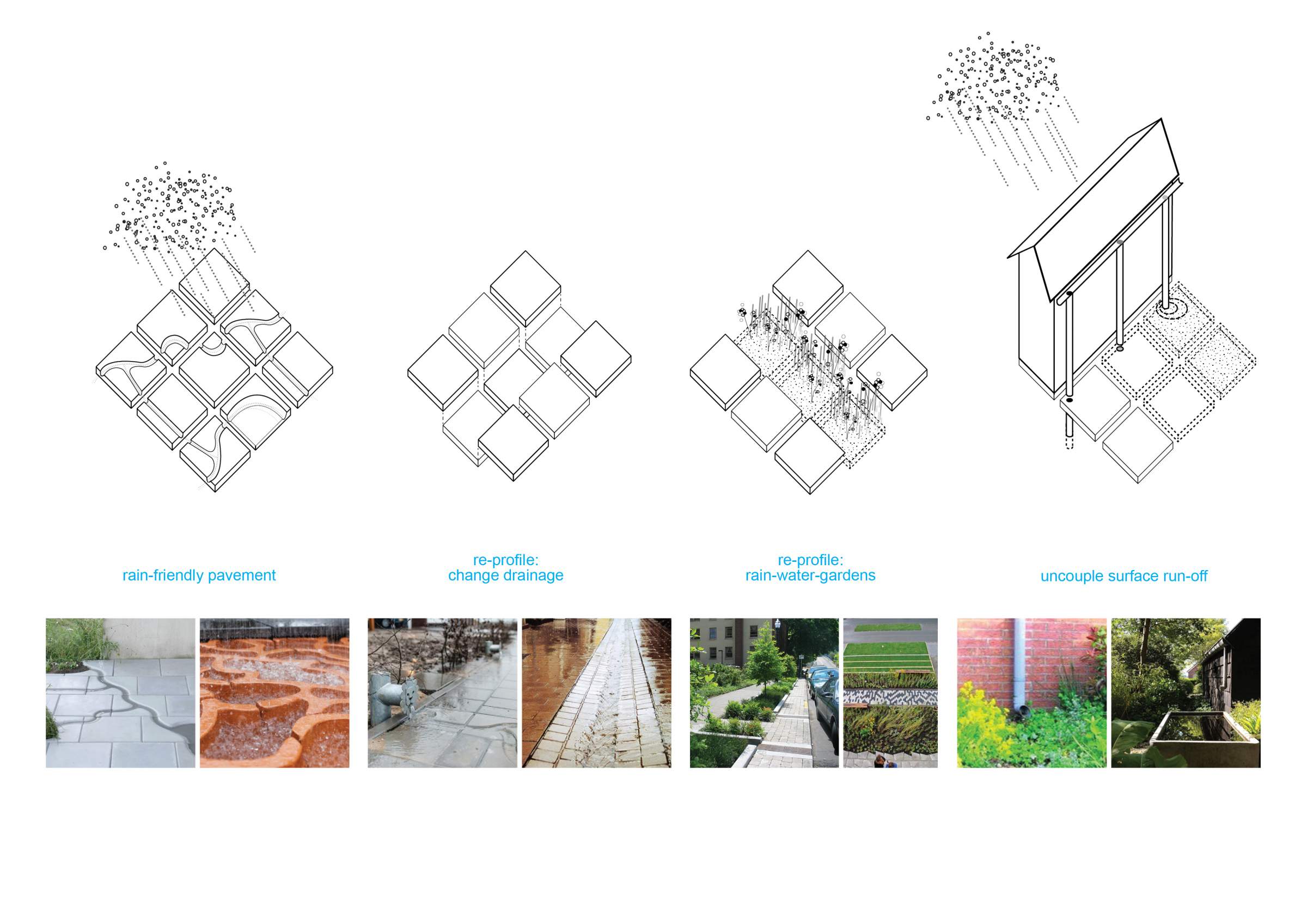
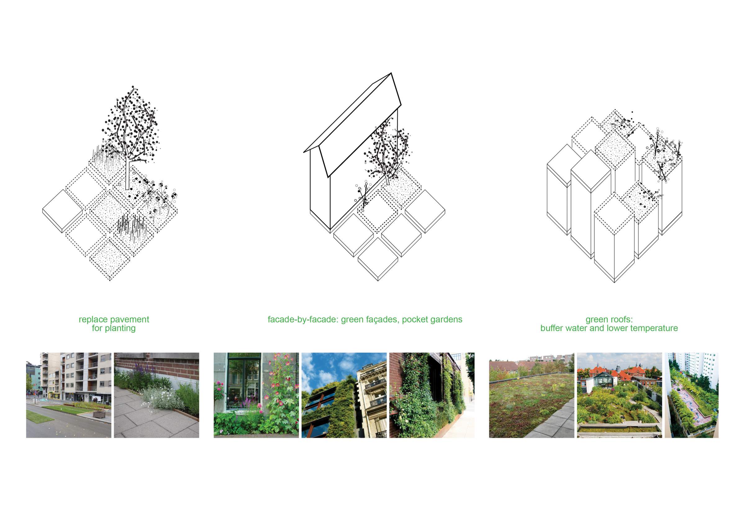
This includes an Urban Climate Map with urban heat classes and wind nuisances zones. The smartphone user can pinpoint his location and then gets an overview of local measures: a catalogue of possible urban planning and design interventions, to minimise the negative phenomena (e.g. heat, flooding, wind nuisance) and enhance the positive ones (e.g. ventilation).